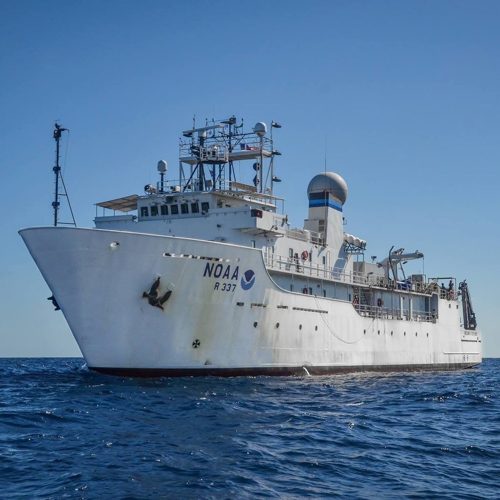
National Oceanic and Atmospheric Administration (NOAA) ship Okeanos Explorer, docked at the Suva Port on Friday last week.
During her berth, a one-hour tour of the vessel was givem to the media to look at the operation of the United States’ only federal ship dedicated to ocean exploration, with an opportunity to view the science control room, bridge, and other exploration tools and technology.
The ship visited after completing an expedition to map and explore deep waters of American Samoa.
During the expedition, NOAA mapped areas with little or no high-quality seafloor mapping data and conducting remotely operated vehicle dives to explore seamounts and abyssal plain habitats, with a focus on developing an initial assessment of marine critical minerals as well deep-sea coral and sponge communities, fish habitats, and marine life in the water column.
Data collected during the expedition would be made publicly available, ensuring full and transparent access to expedition knowledge and findings for local communities, decision-makers, and the scientific community.
Gaps in data and information filled during the 2026 American Samoa ROV and Mapping Exploration expedition will increase our understanding of the current ocean environment, increase understanding of resources to inform responsible management decisions, identify further knowledge gaps, and increase public connection to and awareness of ocean issues.
During the tour, Fijian reporters had the opportunity to speak directly with members of the American Samoa expedition team and learn about the value and importance of this work, major geological and biological discoveries, the tools and technology used to map and explore these significant marine places, and how data are shared and made publicly available to support local and regional decision making.
About the ship
NOAA Ship Okeanos Explorer is operated by the NOAA Commissioned Officer Corps and civilians as part of NOAA’s fleet managed by NOAA’s Office of Marine and Aviation Operations.
NOAA Ocean Exploration owns the mission equipment used during expeditions on Okeanos Explorer and coordinates the ship’s exploratory mission. The exploration remotely operated vehicles are operated via a partnership with NOAA Ocean Exploration and the NOAA Ocean Exploration Cooperative Institute.
Expeditions on the ship are planned collaboratively, with input from partners and stakeholders, and with the goal of providing data that will benefit NOAA, the scientific community, and the public.
During Okeanos Explorer expeditions, data are collected using a variety of advanced technologies to explore and characterise unknown or poorly known deepwater ocean areas, features, and phenomena at depths ranging from 250 to 6,000 meters (820 to 19,700 feet).
The ship is equipped with four different types of mapping sonars that collect high-resolution data about the seafloor and the water column, a dual-body remotely operated vehicle (ROV) capable of diving to depths of 6,000 meters, and a suite of other instruments to help characterise the deep ocean. Expeditions typically consist of either 24-hour mapping operations or a combination of daytime ROV dives and overnight mapping operations.
Unlike many other ocean expeditions supported by NOAA, most of the scientists participating in expeditions on Okeanos Explorer remain on shore, thanks to telepresence technology. The ship is equipped with a high-bandwidth satellite communications system capable of transmitting mapping and oceanographic data and real-time, high-definition video feeds from the ROV through network connections to scientists on shore.
Since being commissioned in 2008, NOAA Ship Okeanos Explorer has travelled the globe, exploring everywhere from the Indonesian “Coral Triangle Region” and benthic environments in the Galápagos, to areas in the Gulf of America, canyons and seamounts off the Northeast U.S. Atlantic coast, deep waters off Alaska, and marine protected areas within the Pacific.
Prior to being obtained by NOAA in 2004 and commissioned in 2008, Okeanos Explorer operated as the U.S. Naval Ship Capable, a T-AGOS class vessel.
The ship was named by students from Illinois’ Woodstock High School in a nationwide ship-naming contest; in ancient Greek cosmology, Okeanos was the river/ocean that encircled the world.
The ship is homeported in Newport, Rhode Island, and conducts operations around the globe.