FIJI is strengthening its maritime knowledge through international ocean-mapping efforts, with Fiji Hydrographic Services highlighting the importance of seabed data to national planning and ocean governance.
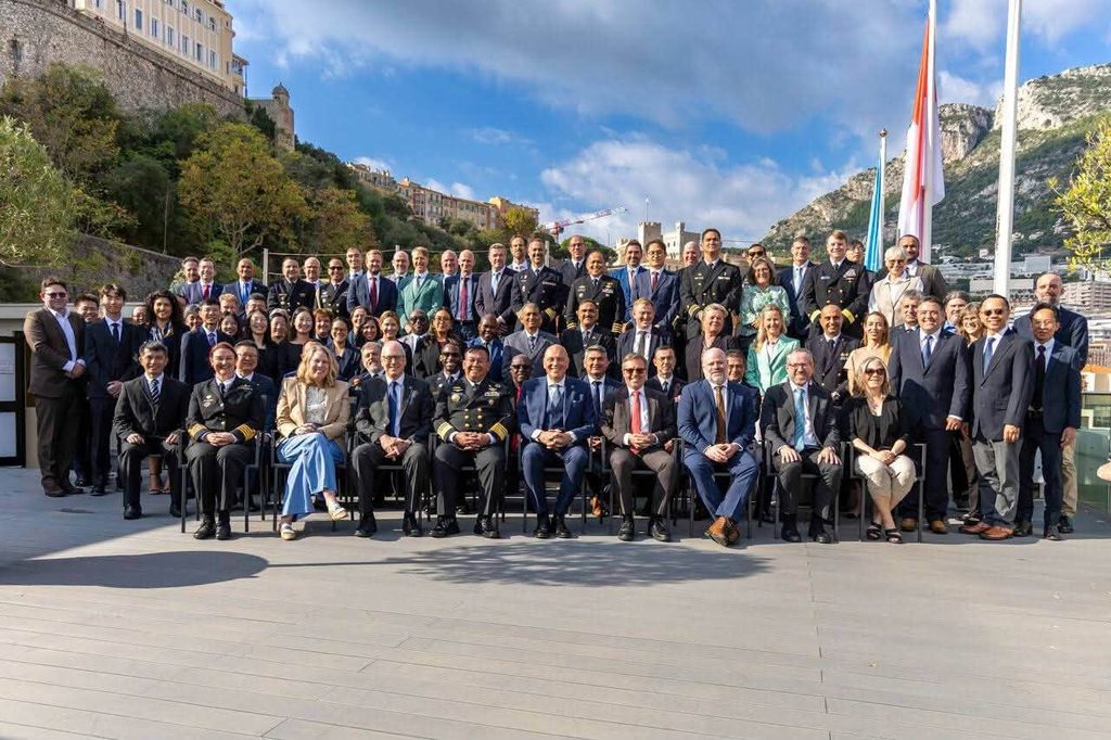
The Fiji Hydrographic Services team was at the Seabed 2030 Indo-Pacific Ocean Mapping Meeting and Data Sprint, where they outlined the strategic value of hydrography for Fiji.
In a statement, the Republic of Fiji Navy stated Fiji’s experience following the establishment of the National Hydrographic Committee showed how bathymetric data could support national priorities and inform practical decision-making.
“Bathymetric data supports a range of national priorities and helps connect technical information with practical decision-making,” the Navy stated.
Bathymetry is the measurement and mapping of underwater depths, providing information about the seabed that is important for safe navigation and the management of marine areas. The meeting provided an opportunity to strengthen international partnerships, improve bathymetric data management and support the development of hydrographic capability.
The Navy said global ocean-mapping initiatives needed to reflect the interests of Pacific Island countries and respond to the priorities of their communities.
According to the Fiji Navy, hydrographic information is important to Fiji as an island nation whose communities and economy depend heavily on the ocean.
Reliable seabed data can support maritime planning and contribute to informed decisions about the country’s marine environment.
Fiji Navy highlighted that Fiji’s participation also forms part of wider efforts to strengthen its hydrographic capacity and engage with international partners on ocean governance.
Through the Seabed 2030 initiative, Fiji Hydrographic Services is helping advance regional participation in ocean mapping and improve the information available to support the country’s maritime interests.
The engagement highlights the importance of building technical expertise and ensuring Pacific Island countries have a voice in international efforts to map the world’s oceans.