
As global headlines sensationalise the return of El Niño, Pacific communities must look past the media alarmism.
This is not an unprecedented climate apocalypse, but a familiar, graduated natural variability cycle that the peoples of the Pacific have lived with and navigated successfully for centuries.
Observational data from satellite sea surface temperature (SST) analysis, subsurface Kelvin wave monitoring, and Southern Oscillation Index (SOI) readings confirmed in June 2026 that El Niño conditions are established in the tropical Pacific. Weekly SST anomalies in the Niño 3.4 region have reached +0.9°C and are rising.
While the world’s media treats this as breaking news, the Pacific has been reading these signals for generations.
Understanding the true mechanics of this system is critical to implementing balanced, evidence-based national resilience rather than succumbing to panic.
The 3-to-7-year cycle is graduated, not a uniform disaster
El Niño is a naturally occurring phenomenon operating on a variable three-to-seven-year cycle. It is fundamentally an expression of planet-scale natural weather and climate variability—the “background noise” of our earth system.
Natural variability operates across short, medium, and long-term horizons, driven by various oceanic and atmospheric forcings. These cyclical teleconnections often override and mask day-to-day weather patterns, dictating the intensity of seasonal rains, heatwaves, and wind regimes.
Crucially, El Niño is never a uniform disaster. It is inherently graduated and localised; a pattern that brings prolonged dry spells to one region frequently delivers highly favourable, rain-fed agricultural conditions to another.
Furthermore, the raw atmospheric intensity of an El Niño phenomenon does not have a simple, linear relationship with the severity of localised impacts. A mathematically “strong” event does not automatically guarantee severe domestic hardship.
Reversing the engine: The walker circulation
To understand El Niño, one must understand the three-dimensional Walker Circulation—the atmospheric engine driving the tropical Pacific. In its baseline state, robust easterly trade winds push warm surface water westward, pooling it around Indonesia and northern Australia, while cold, nutrient-rich deep water upwells along the South American coast.
Convection rises over the warm western Pacific, flows eastward at altitude, and descends over the cool eastern Pacific, completing the atmospheric loop. El Niño is a periodic reversal of this entire circulation system. The engine stalls when westerly wind bursts weaken the trade winds, allowing the warm western pool to migrate eastward.
Convection follows this heat, shifting the atmospheric loop entirely.
This grand reversal creates a “see-saw” of extremes: areas where we traditionally observe deep convective processes—bringing reliable rain—experience sudden, brutal subsidence (sinking air), leading to the suppression of rain and prolonged dry spells.
Conversely, areas that normally experience atmospheric subsidence—typically drier zones—now see upward vertical motion, triggering intense convective activity and large amounts of unseasonable rainfall.
The trigger and the feedback loop
Declaring an official El Niño requires a sustained SST anomaly of +0.5°C or above in the Niño 3.4 region—the east-central tropical Pacific between 5°N and 5°S, 120°W to 170°W—across five consecutive, overlapping three-month seasons, accompanied by confirmed atmospheric coupling.
The driving mechanism is the Bjerknes positive feedback loop, where initial surface warming weakens the trade winds, and weaker trade winds allow further operational warming. The system accelerates until oceanic Rossby waves propagate westward, reflect as subsurface Kelvin waves, and return eastward to cool the thermocline.
This delayed negative feedback eventually terminates the cycle. Historically, weak El Niño events naturally dissipate within nine months, while stronger events can persist for eighteen months or longer before the ocean resets.
The cyclone reality: Elevated risks for central and eastern Fiji
The grand reversal of the atmospheric circulation system does not cause tropical cyclones to disappear; it completely alters their traditional spatial distribution, numbers, and seasonal timing.
As warm surface waters spread extensively across the eastern Pacific, the primary cyclone genesis zone shifts well east of the Date Line. For our regional neighbourhood, this realignment creates a much higher risk of tropical cyclone activity over Eastern Fiji, Samoa, Tonga, Cook Islands and the Tahiti region.
The presence of widespread warm water means total cyclone numbers over this specific eastern zone can become significantly elevated from the nine as the average.
The 1982-83 El Nino episode led to nineteen tropical cyclones with an extended cyclone season. Within Fiji itself, this teleconnection translates directly into a higher tropical cyclone risk for the Central Division and Eastern Division regions., with cyclones approaching Fiji from the northeastern quadrant. Conversely, cyclone risk drops substantially lower for the Western Division, including the Yasawa and Mamanuca groups and the Coral Sea region, west of Fiji.
Furthermore, the operational boundaries of the traditional tropical cyclone season altar. Under El Niño conditions, the season can linger noticeably longer into May, or it can start a full month earlier, with historical records showing destructive tropical cyclones developing as early as October.
Fiji’s agricultural modulations: The western dry span
While the Central and Eastern divisions face elevated cyclone vulnerabilities, Fiji’s primary agricultural risk during an El Niño remains concentrated across the Western Division.
Below-normal rainfall patterns typically intensify along the Sigatoka-Nadi-Lautoka-Nadi-Ba-Rakiraki, the sugar cane belt. This region is traditionally the dry zone and in a normal year receives only 25 percent of the annual rainfall contribution.
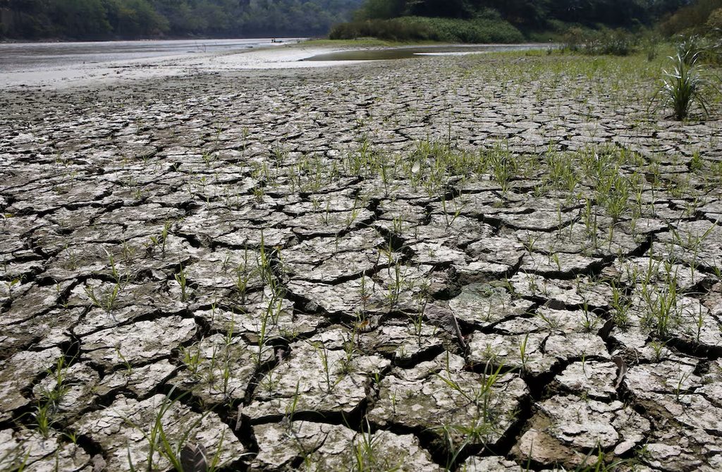
Thus in El Nino year rainfall amounts can be reduced markedly, leading to droughts. During historical events, such as the major El Niño of 2015-16, prolonged dry spells severely impacted western farming sectors. For a cane farmer in Lautoka or Ba, navigating structural industry challenges, a prolonged dry spell also compresses crop yields and inflates operational costs.
However, it is vital to recognise that El Niño does not create the structural financial crisis of the domestic sugar sector; it simply highlights existing vulnerabilities.
Interannual variability vs anthropogenic forcing
The most operationally dangerous confusion in Pacific public discourse is treating El Niño and the incorrect, confusing and derogatory term, “climate change” as the identical phenomenon. They are entirely separate. El Niño is natural interannual variability operating on brief, cyclical timescales. It has functioned smoothly for millennia, and Pacific communities successfully embedded its rhythms into traditional agricultural calendars, food storage, and fishing practices long before modern monitoring networks existed.
In contrast, climate natural variability and change is long-term anthropogenic forcing driven by decades of greenhouse gas accumulations.
While climate variability and change raises the baseline sea surface temperatures from which El Niño anomalies are calculated, this interaction does not make them the same. Every seasonal drought is not an index of “climate change”, and every El Niño is not an eco-catastrophe.
Conflating a temporary three-to-seven-year natural variability cycle with a centennial warming trend, distorts risk communication and prevents the deployment of precise, localised scientific responses.
Balanced preparation for 2026 and beyond
With the Niño 3.4 anomaly currently sitting at +0.9°C, El Niño is established. Subsurface heat content anomalies indicate steady development, and peak anomalies may rise further by late 2026.
This requires calm, calculated, and proactive institutional planning across Fiji’s divisions. Water managers in the West must monitor reservoir capacities, while disaster management authorities must systematically communicate the elevated cyclone risks facing the Central and Eastern divisions in the coming cyclone season.
El Niño is a normal, manageable feature of life in the Pacific. The ocean has run this ancient cycle since before these islands were settled, and national resilience depends entirely on practical preparation, not fear.
Dr Sushil K Sharma BA MA MEng (RMIT) PhD (Melbourne) is a WMO Accredited Class 1 Professional Meteorologist and former Aviation Meteorologist for British Aerospace, the Royal Saudi Air Force, and Bahrain Meteorological Service. He is a former Associate Professor of Meteorology at Fiji National University and Operational Meteorologist and the Manager of the Climate, Research and Services Division at Fiji Meteorological Services. The views expressed are the authors and not of this newspaper.