Some landowning groups in Macuata have complained they’ve lost land as a result of different maps used by TLTB officers in Labasa.
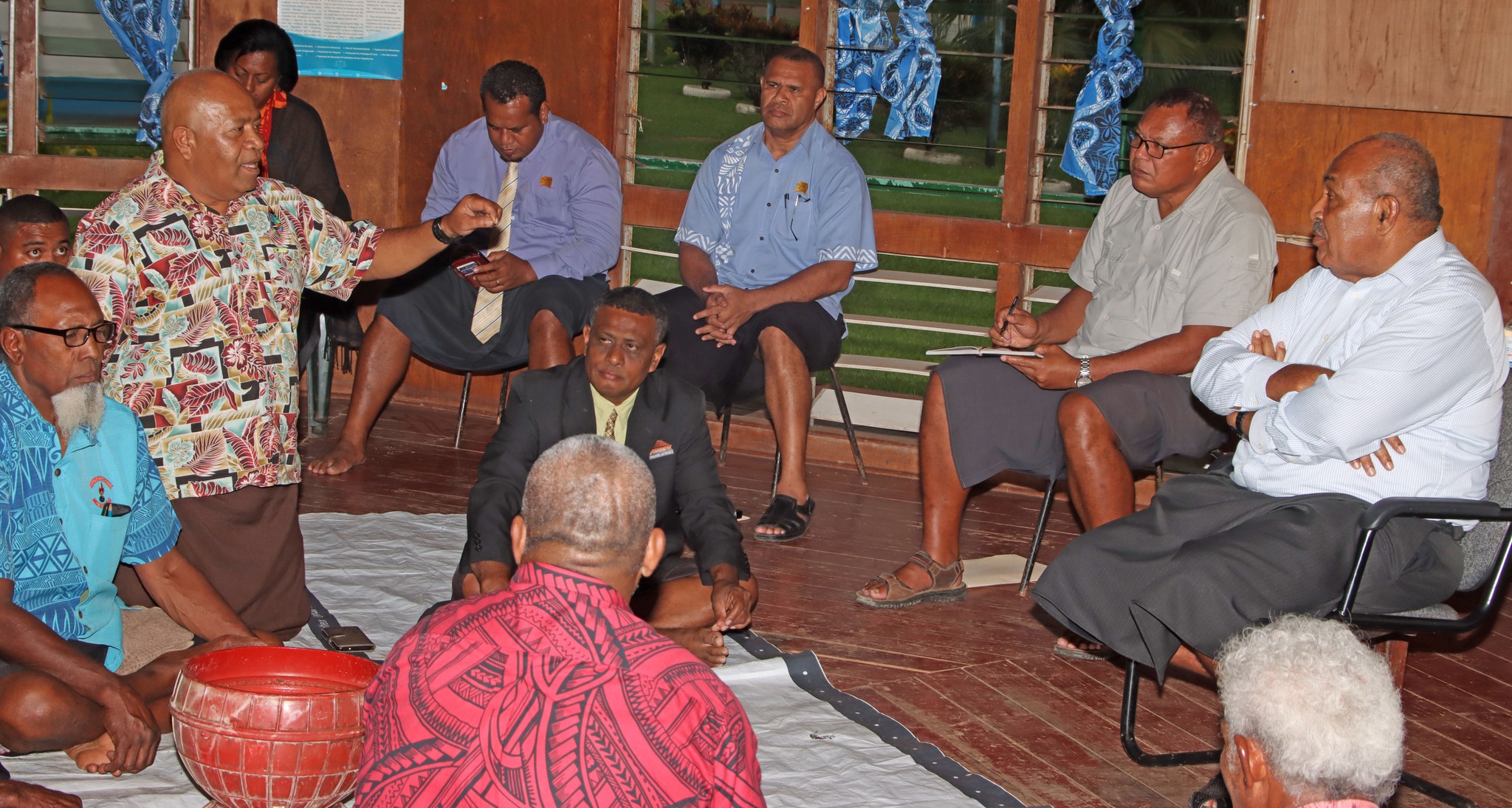
The concern was raised during talks with iTaukei Affairs Minister Ifereimi Vasu in Seaqaqa.
Members of the mataqali Qaraniqoli told Mr Vasu they’d lost some land because TLTB officers used a map that was different from the Native Lands Commission’s records.
After conducting their investigations, which included obtaining records from the NLC, the landowners noticed their land had been sold.
They informed Mr Vasu that the TLTB worked with another landowning group who were not owners of the land in question.
They requested that Mr Vasu and the TLTB management look into this and fix the problem.
iTaukei Land Trust board member Solomone Nata said the only map they used on land boundaries in the 14 provinces is that from the NLC.
He said this was the only legally recognised document used for clarifying land issues. Mr Nata said the TLTB used to have its map which they referred to when dealing with land issues.
“But that will no longer be used. We will now only use the map that is with the NLC,” he said.
“That will be the only map we will refer to from now on because sometimes the maps differ slightly.”
Mr Nata told landowners the TLTB no longer issued maps for this purpose.

