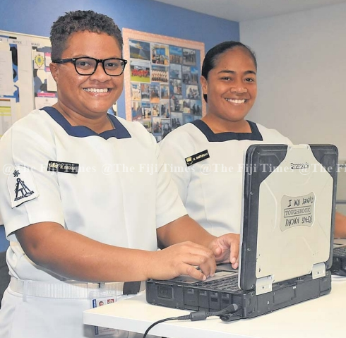
The Fiji Hydrographic Service (FHS), operating under the Fiji Navy, celebrated World Hydrography Day yesterday.
The day promotes awareness of hydrography’s role in advancing people’s understanding of the world’s oceans and seas.
This year’s theme, “Seabed Mapping: Enabling Ocean Action,” underscores hydrography’s importance in enabling data-informed decision-making for effective ocean governance.
Fiji Hydrographic Service director Commander Jervis Robinson says the service has played a critical role in ensuring the safety of navigation within Fiji’s waters.
He said the theme for this year underscored the indispensable role of accurate seabed data in fostering safe navigation, sustainable development, and informed maritime governance.
The Fiji Navy is reaffirming its dedication to developing hydrographic services in support of Fiji’s marine development and economic progress as it nears its 50th anniversary.
To promote safe navigation in Fijian waters, the FHS provides nautical publications and charts in collaboration with the United Kingdom Hydrographic Office (UKHO).
The Fiji Hydrographic Service began as a small government agency in March 1970 and has since grown into a competent service that carries out hydrographic surveys in accordance with international standards.
Recognising its beginnings, the service remains committed to maintaining navigational safety and promoting Fiji’s blue industry into the future.

