As part of regional efforts to protect blue carbon ecosystems like mangroves and seagrass, 24 government representatives from Fiji successfully completed a week-long GIS capacity-building workshop in June 2025. The MACBLUE Fiji Workshop, delivered by SPC’s Earth and Oceans Observation Programme in partnership with the Fiji Government, GIZ Pacific, and Digital Earth Pacific, equipped participants with practical skills in geospatial mapping and carbon stock assessment using open-source tools like QGIS.
These skills are vital for tracking and protecting mangroves—natural buffers that store carbon, support marine life, and shield communities from climate change. As Mereoni Taga from the Ministry of Fisheries shared, “This workshop helped me see how seagrass acts as part of a carbon sink, and how that supports climate change initiatives.” With three workshops now held across PNG, Solomon Islands, and Fiji, the MACBLUE project is enhancing Pacific-wide capacity to make informed decisions for a more climate-resilient future.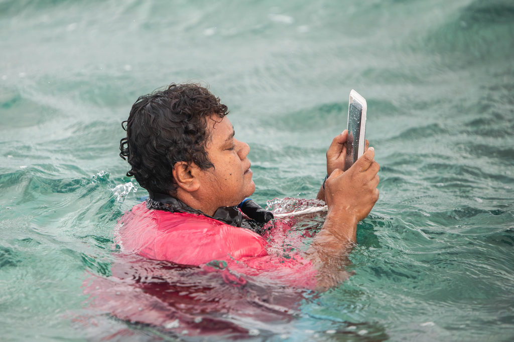
A participant part of a practical data collection session at the Fiji MACBLUE
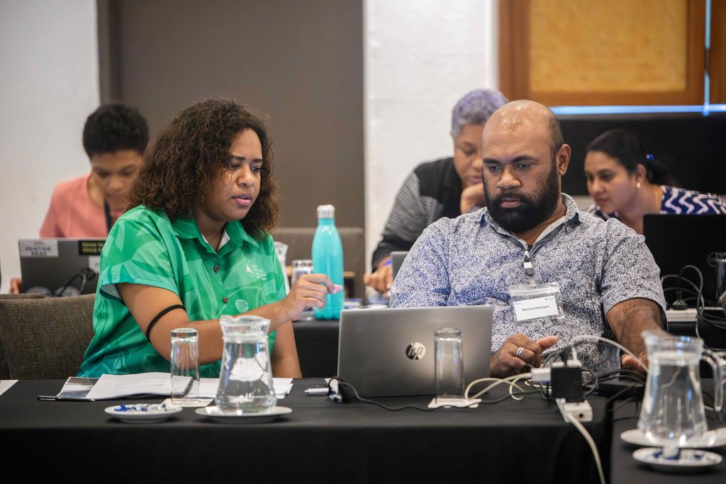
Fiji workshop.
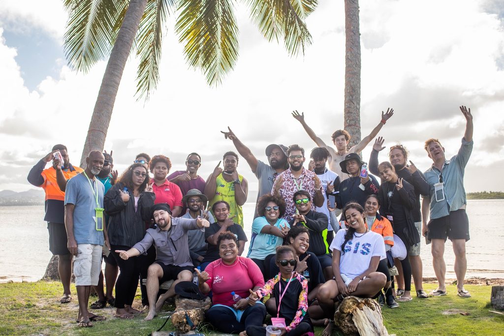
Participants part of the Fiji MACBLUE Fiji workshop.

