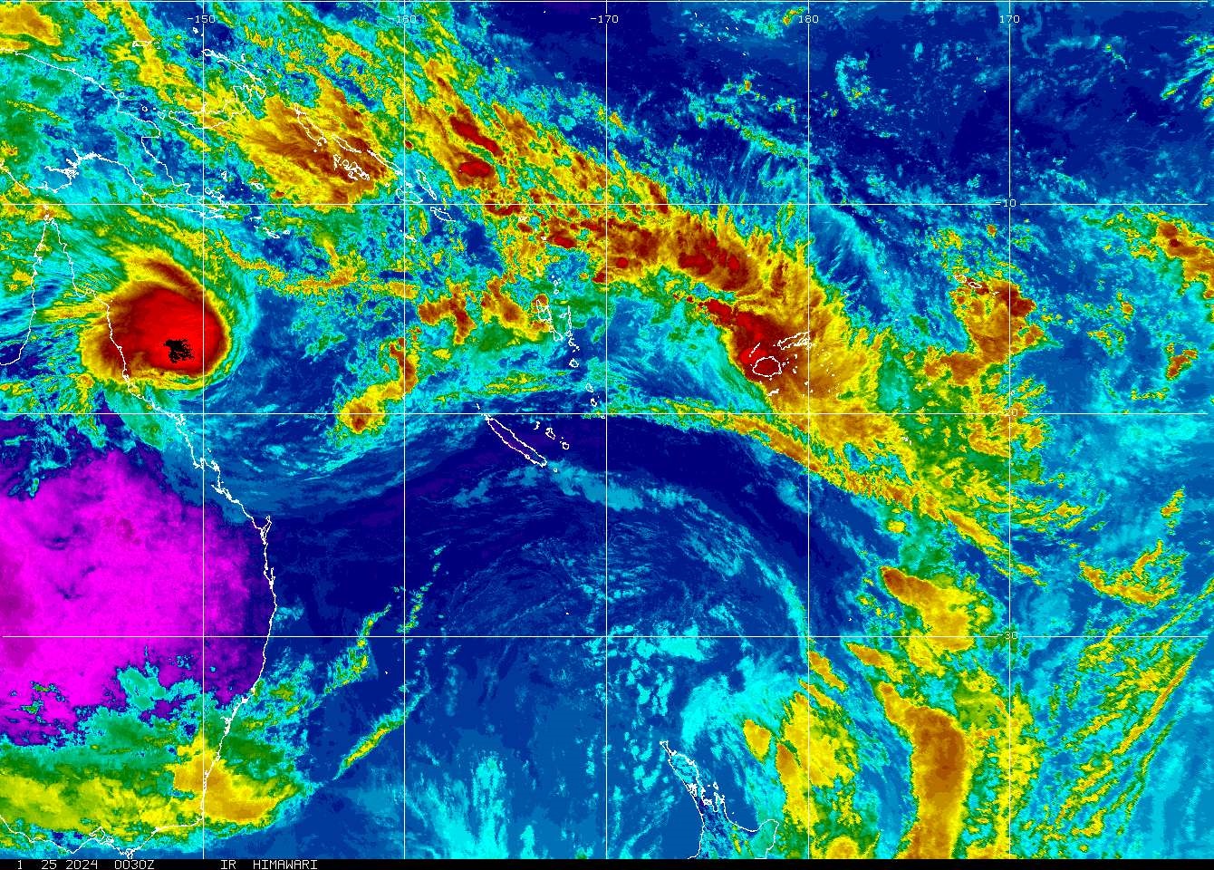
The active trough of low pressure currently affecting the Fiji Group has intensified into a tropical disturbance, TD04F.
The Fiji Meteorological Service (FMS) acting director Bipen Prakash said the system is drifting eastwards and expected to move away from the Western Division overnight and gradually from the rest of the country by later tomorrow.
“The potential for TD04F to develop into a tropical cyclone over Fiji waters is very low,” said Mr Prakash in a statement.
Meanwhile, a flood warning is in force for Ba and Rakiraki rivers, while a flood alert is in force for Nasivi River (Tavua).
Mr Prakash said the water-level in the Ba River has surpassed the warning-level.
“A flash flood warning remains in force for flood prone areas, small streams and low-lying crossings in the Western, Central and Eastern Divisions.
“The next high tide is at around 6.00pm this evening.
“With the already swollen rivers, creeks and streams and expected continuation of rainfall in the Western and Central Divisions, the public in these areas should be particularly vigilant for flooding over the course of this afternoon and evening with the high tide later this afternoon.
“A heavy rain warning remains in force for the whole of Fiji Group.
“A strong wind warning is in force for the land areas of Yasawa and Mamanuca Groups, northern Viti Levu (Tavua-Rakiraki), northern Bua, Macuata province, and Lau and Lomaiviti Groups.”

