Lands Minister Filimoni Vosarogo says the realm of Geospatial Information Systems (GIS) has been an integral part of Fiji’s landscape for many years.
Mr Vosarogo said the journey began with the establishment of the first GIS unit by the Ministry of Forestry in the early 1990s.
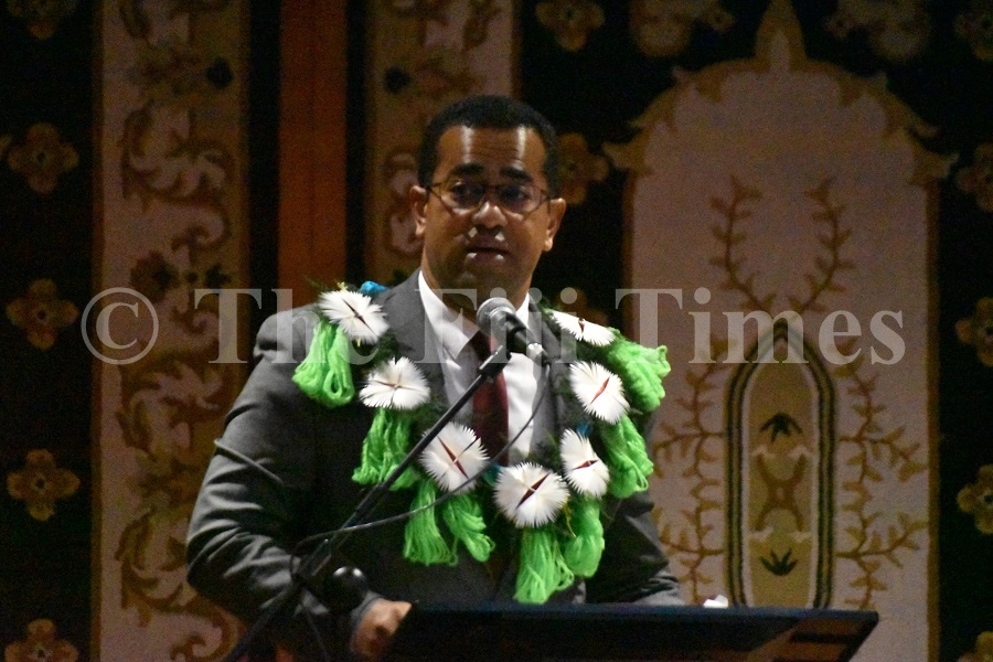
Officiating at the World GIS Day in Suva on Thursday Mr Vosarogo said back then, several agencies were transitioning from paper-based maps and land records to digital systems, led by the Lands Ministry in digitising these crucial records.
“Recognising the pivotal significance of this shift, the Fiji Government invested in transitioning our paper-based map records into a GIS environment,” he said.
“This strategic move has significantly empowered us.
“Today, through platforms like Vanuaview or VanuaGIS, accessing maps and land information has become effortless, enabling us to conduct comprehensive research and plan meticulously for informed decision-making.
“Under the theme ‘Geospatial — The Future of Fiji’, we align with Jack Dangermond’s profound words from the 2015 Esri User Conference, where he expressed that GIS is awakening the world to the potency of geography — a science that serves as the bedrock for creating a better future.”
Mr Vosarogo said the prosperity and sustainability of our nation hinged upon well-informed decisions.
“And to achieve this, reliable information is indispensable.
“GIS emerges as the cornerstone in furnishing us with the necessary data for shaping the future we aspire to achieve.”

