BY producing accurate and up-to-date nautical charts, the Fiji Hydrography Service ensures the safe and efficient movement of vessels – which is essential for trade and maritime transportation.
The Fiji Hydrography Service (FHS), operating under the Republic of Fiji Navy, is the national authority responsible for hydrographic surveying and the production of nautical charts in Fiji.
Fiji Hydrography Service director, Commander Jervis Robinson said the service’s core responsibilities include collecting, processing and managing hydrographic data to support maritime transport, national infrastructure, planning and coastal development.
“FHS plays a critical role in maritime boundary delimitation, disaster risk reduction, and marine spatial planning. It also contributes to the sustainable management of maritime resources , including fisheries and tourism through accurate seabed mapping.”
He said, in the tourism sector, especially for cruise ships and yachts, reliable hydrographic data enabled safe access of ports and remote island destinations – enhancing visitor experience and boosting revenue.
“For national security and defence, hydrographic surveys provide critical seabed intelligence that supports naval operations, surveillance and maritime border protection.
“In the fisheries sector, seabed mapping and oceanographic data help identify fish habitats, guide sustainable fishing zones, and support marine resources management.
He said on disaster risk reduction, the service identified coastal hazards and informed climate resilience planning.
“Overall, hydrography underpins safe navigation and informed decision-making, forming a foundation for the sustainable use of Fiji’s vast ocean territory.
On accessing latest hydrographic information, Commander Robinson said vessel operators, both local and international could access it through official nautical charts and publications provided by the United Kingdom Hydrographic Office (UKHO), which served as Fiji’s primary charting authority.
“These include updated paper charts and Electronic Navigational Charts (ENCs) available via UKHO-approved chart distributors.
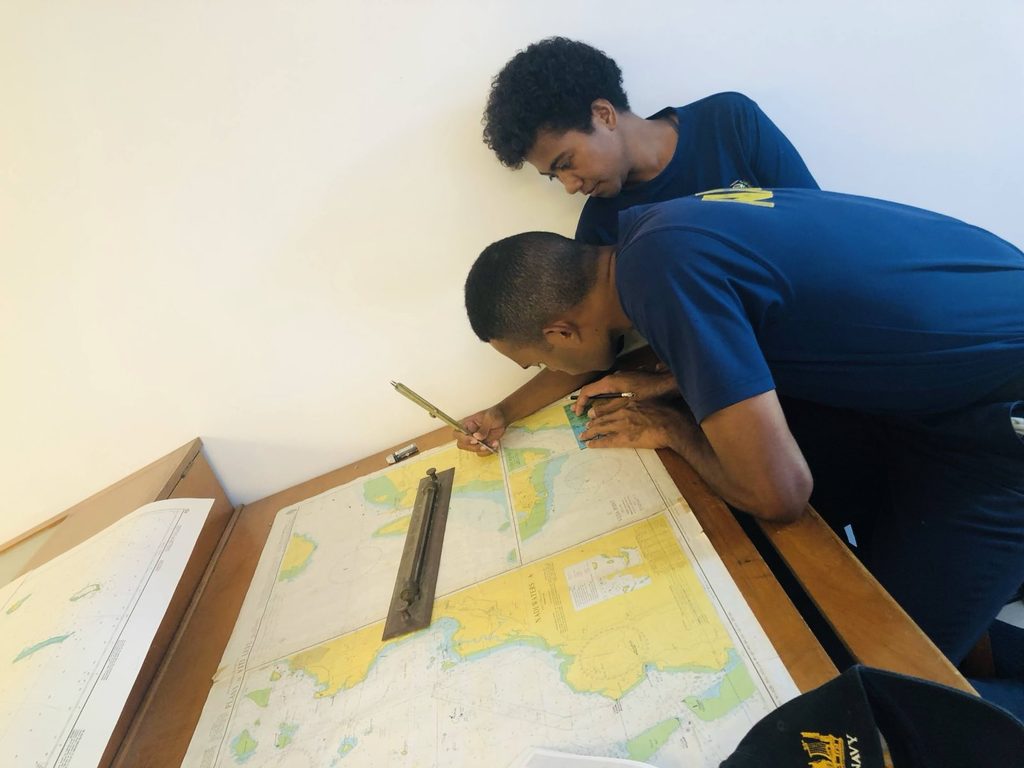
“In addition to this, FHS also produces nautical papers charts primarily for local shipping and this is available at the Fiji Hydrographic Office.
The service collaborates with international partners, such as the United Kingdom Hydrographic Office (UKHO) and represents Fiji in global and regional hydrographic forums including the International Hydrographic Organization (IHO).
“Through the revitalised Fiji National Hydrographic Committee (NHC), the Service ensures that national hydrographic activities align with government priorities, particularly the Blue Economy and the Fiji National Development Plan.”
He said the service ensured international standards were met for both paper and electronic navigational charts, adding that regular data validation, international partnerships, and adherence to IHO guidelines helped to maintain the safety, precision and reliability of Fiji’s navigational information.
World Hydrography Day was celebrated on Saturday, June 21.
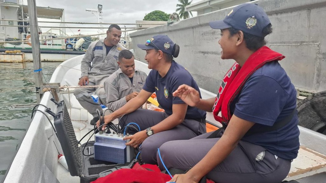
Hydrography underpins safe navigation and informed decision-making, forming a foundation for the sustainable use of Fiji’s vast ocean territory. Picture: REPUBLIC OF FIJI NAVY
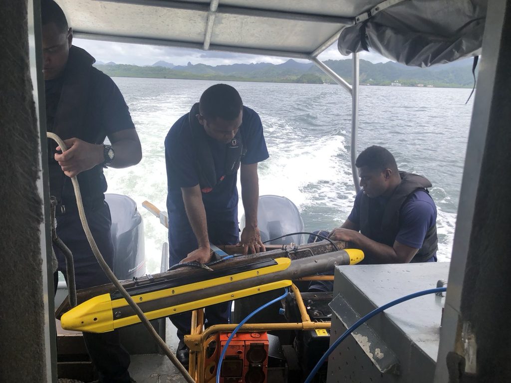
By producing accurate and up-to-date nautical charts, the Fiji Hydrography Service ensures the safe and efficient movement of vessels. Picture: REPUBLIC OF FIJI NAVY

