SPATIAL data and geospatial data services has just been made better with the launch of Kahuto Pacific’s latest service initiative the “Moana Data Services” (MDS).
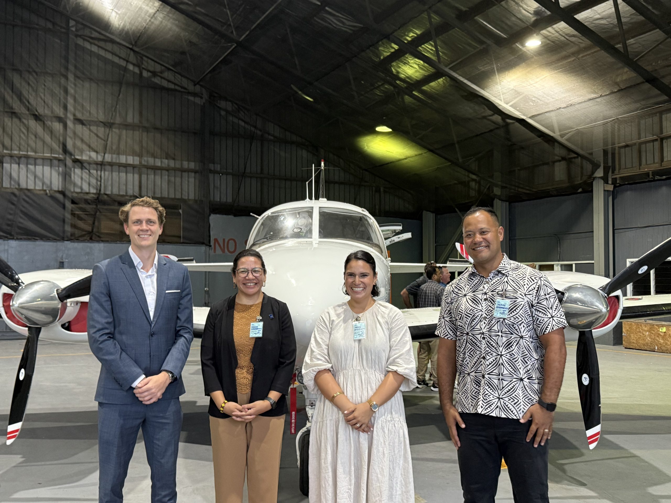
Moana Data Services offered by Kahuto Pacific showcases a customised aircraft equipped with high resolution imaging systems set to revolutionise planning and development across Fiji and the Pacific Islands.
According to Kahuto Pacific co-founder Christopher Saili, the new service will provide national scale imagery and LiDar (Light Detection and Ranging), two geospatial products that will enable town planners, Government decision makers, policy makers, engineers and land developers to accurately plan and design climate resilient infrastructures.
“There are many different applications that use LiDar and imagery, but flood modelling is one that impacts Fiji and LiDar will help us with it,” Mr Saili said.
“It can be used for protecting town areas and enabling people where roads should go and where towns should go that aren’t going to flow.”
He said the MDS is different because it is locally owned and led.
“This isn’t something that’s delivered locally; we wanted to build something that’s local and have locals accessing this live aerial data with ease,” he said.
Kahuto Pacific is a recipient of $458,000 from the Asian Development Bank’s Frontier Seed program in June this year, funds used to expand the business.
The MDS comes as part of ADBs support.
ADB investment manager Fredrik Helsingen said ADB support towards Kahuto was backed with confidence as they had seen potentials that the MDS could bring to the Fijian market.
“The impact this MDS could bring is plentiful, so overall this addresses that gap in the market in terms of access to live aerial data information,” Mr Helsingen said
“In terms of our investment in Kahuto, we see that there are a lot of MSMEs, not only Fiji but across the Pacific that are not able to raise capital from traditional financial solutions and we want to bridge that gap, so Kahuto is where we started.”
Kahuto Pacific further plans to engage Government Ministries, landowners and other development bodies to make use of the MDS in ensuring Fijians can capture and manage live aerial mapped data themselves.

