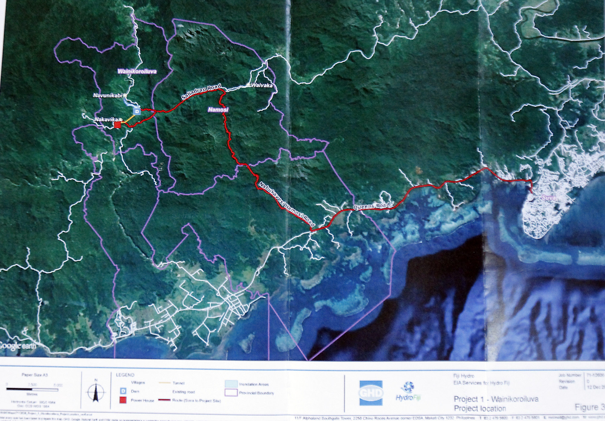
PORTIONS of land owned by various clans (mataqali) located downstream and upstream of the Wainikoroiluva river in Namosi will be permanently inundated by the reservoir to be created upstream of the dam.
This was revealed in the environmental impact assessment (EIA) report of the Wainikovu and Waivaka hydropower project.
Hydro VL Pty Ltd is working on the $200 million Wainikoroiluva, Wainikovu and Waivaka hydro project.
The clans are mataqali Nabukebuke Navunikabi, mataqali Nasoroiwaca, mataqali Vatuvula, mataqali Nabukebuke Laselase, mataqali Tubalevu and mataqali Nabukebuke.
According to the EIA, the dam structure will be built within the mataqali Tubalevu and mataqali Nabukebuke land.
“The land use of the areas to be occupied by the project is predominantly dense forests used as hunting areas with small grasslands used as grazing areas for cattle and horses,” the EIA highlighted.
“Some portions of the land are used for agricultural activities with sporadic plantations of cassava, interplanted with occasional coconuts and some planted with voivoi plant (pandanus family) which is used for handicraft weaving.”

