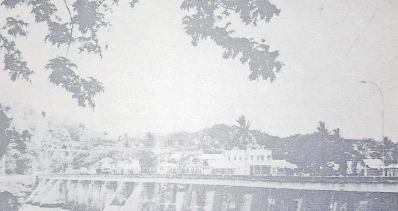
The township of Sigatoka was officially established as a township board in 1959 with Doctor Carl Huges, the then district officer, as chairman and Amar Singh as secretary.
Though its history as a town goes further back, an article published by The Fiji Times on November 3, 1978 said little was known of the site in pre-cession times.
The political centre of Nadroga was located at Cuvu though the paramount chiefs of Nadroga, according to tradition, had to be legitimated in office by the chiefs of Lawai.
Somewhere in-between Cuvu and Lawai, the Sigatoka River had always been an important part of life for villages of Solevu, Lawaqa, Malaqereqere, Vunasalu, Kedrakulu and Laselase which existed in the past, but continued to retain their historical importance as wards of the town.
Any site at the river mouth was bound to achieve a position of prominence.
However, Sigatoka itself achieved this prominence in the aftermath of the rebellion of the Colo clans shortly after the accession of British rule.
In 1877, the British Government built an administrative center for the province of Nadroga, Fort Carnavon, at Natuatuacolo about 30 miles up the western bank of the river.
The province was administrated from there by a resident commissioner.
When native administration was established, the office of Roko Tui was also located there.
Around this time several small plantations were established in the mid 1880s.
Unfortunately, these did not survive. During this time, there were also no roads so people and supplies were transported to and from Levuka and Ba via sea and were disembarked at an estuary that was built there. From there they were transported along bridle tracks or by river.
Some say that there where warehouses built by traders exchanging calio, metal tools and trinkets for beche-de-mer, shells, yams and fruit from villagers.
No significant development of the town site occurred until the administrative shifted from Natuatuacoko to Lawaqa. Here the districts officer’s house was built on a hill, while administrative offic
es and a jail were built at its foot. The future developments of the town were to occur between Lawaqa and the pier of the eastern side where goods and people were loaded and off-loaded.
The shift of the provincial headquarters coincided with the southward extensions of cane cultivation following the erection of the sugar mill in Lautoka in 1903.
The light railway for transporting the harvest reached Nadi in 1905 and was extended to Sigatoka by 1912.
The river was spanned by a bridge in 1913.
Between 1910 and 1913 about 10 plantations were opened up in Nadroga under a scheme of the CSR to institute central mills which accepted cane grown by its onetime overseers.
These events represented the first stages of the development of Sigatoka as a commercial center.
The establishment of plantations on the eastern back of the river, created a population of over a thousand (mostly indentured labourers) and this fostered a demand for a local market.
Agricultural produce such as vegetables and crops were brought in by Fijians and free Indians, mainly from the Colo side of the river.
Other staple foods of the plantation labourers were wheat flour, rice, potatoes, onions, spice were imported.
Stores were built and three cutters regularly brought in stores from Lautoka and Suva.
Two of these cutters were owned by white storekeepers while the third was an Indian storekeeper who had come from Levuka.

