Tropical Cyclone Urmil continues to track east-southeastward at around 22 kilometres per hour, or 12 knots, with dangerous marine conditions persisting across open waters.
The system is currently generating maximum significant wave heights of up to 6.7 metres (22 feet), posing hazards to maritime operations.
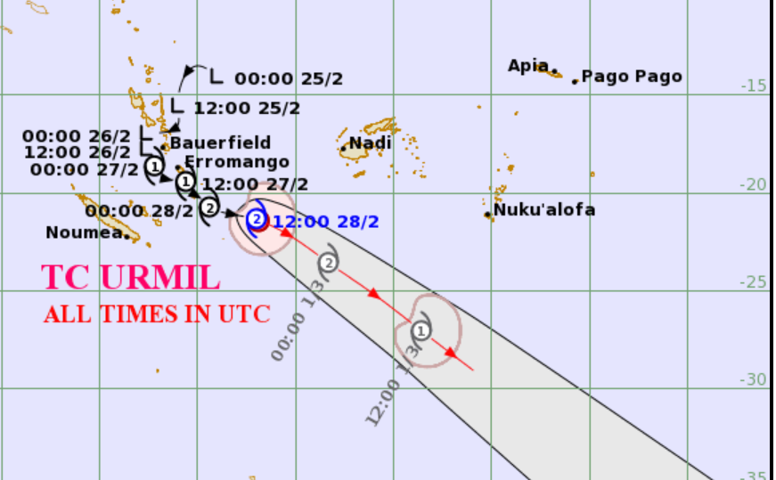
As of 5am this morning, Category 2 Tropical Cyclone Urmil was located about 480 kilometres southwest of Kadavu and continues to move southeastward, remaining south of the Fiji Group.
Active rainbands associated with the system, along with strong north-westerly winds, are continuing to affect the western and southern parts of the country.
Forecast to midnight tonight indicates worsening wind conditions in several areas.
For the Western Division, including the Yasawa and Mamanuca Groups, Kadavu and nearby smaller islands, as well as the Lau and Lomaiviti Groups, strong north to north-west winds are expected, with average speeds of around 45 kilometres per hour and gusts reaching up to 75 kilometres per hour.
In Macuata and Bua provinces, winds are forecast to be moderate to fresh from the north to north-west, becoming strong later today, with average speeds of 40 kilometres per hour and gusts of up to 60 kilometres per hour.
Seas across affected areas are expected to be rough to very rough, and residents are urged to take necessary precautions, especially those in coastal and maritime communities, as conditions remain hazardous.

