The Pacific Ocean is surrounded by subduction zones along its rim and is known as the “Ring of Fire” because natural hazards such as earthquakes, volcanic eruptions, and tsunamis frequently occur there.
The South Pacific lies at its centre, however, details of past hazards in this region remain unclear. To understand low frequency but large events, geological research covering several thousand years is essential.
Volcanic ash and tsunami-transported marine sediments are buried underground, allowing us to excavate physical evidence of past natural hazards from the sedimentary record.
Since March 2024, Japanese scientists have been conducting a joint research JICA/SATREPS project with MRD (Mineral Resources Department) in Fiji titled “Disaster Risk Reduction of Widespread Volcanic Hazards in Southwest Pacific countries.”
One of the major objectives is to mitigate disasters by improving knowledge of past and present volcanic activity in the South Pacific. Tsunamis generated by submarine volcanoes are an important focus of our research.
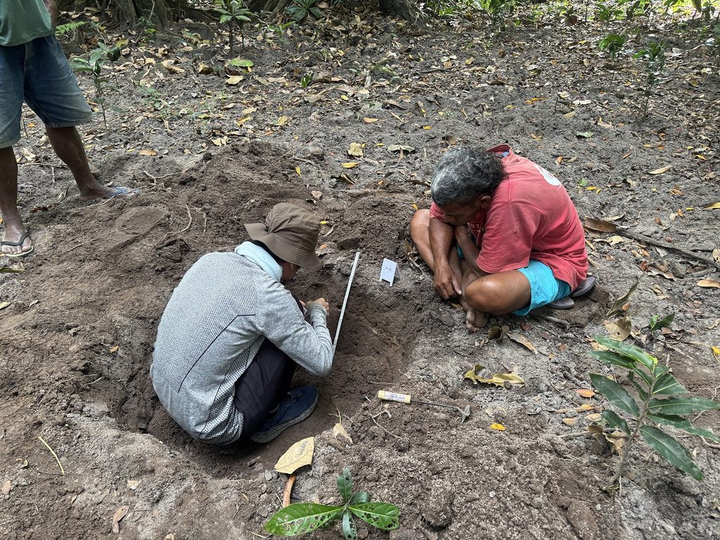
To investigate the tsunami history of Fiji, we have conducted geological surveys on Viti Levu, Kadavu, and Vanua Balavu Islands over the past few years. Our findings suggest that Fiji may be more vulnerable to large tsunamis generated by submarine landslides than by earthquakes or volcanic eruptions.
A well-known example is the 1953 Suva tsunami, which affected Suva City and is believed to have been triggered by a submarine landslide following a small earthquake. A similar event may have occurred in Nabukelevu, Kadavu Island, in 1960, when a tsunami over 10 meters high possibly struck the village, forcing its relocation to higher ground. We discovered possible tsunami deposits in the former village site.
Although the exact tsunami generation mechanism remains uncertain, a local submarine landslide is a likely candidate because the basement volcanic rock in this area is fragile. Such localised but large tsunamis may have occurred frequently in Fiji, yet most went unrecognised because they only become evident when they impact inhabited areas. If this is the case, similar submarine landslides and resulting tsunamis may have occurred repeatedly around the Fijian islands.
Predicting submarine landslides is extremely difficult. Therefore, assessing potential risk areas based on geological and geomorphological information is crucial, and this will be a key focus of our future work.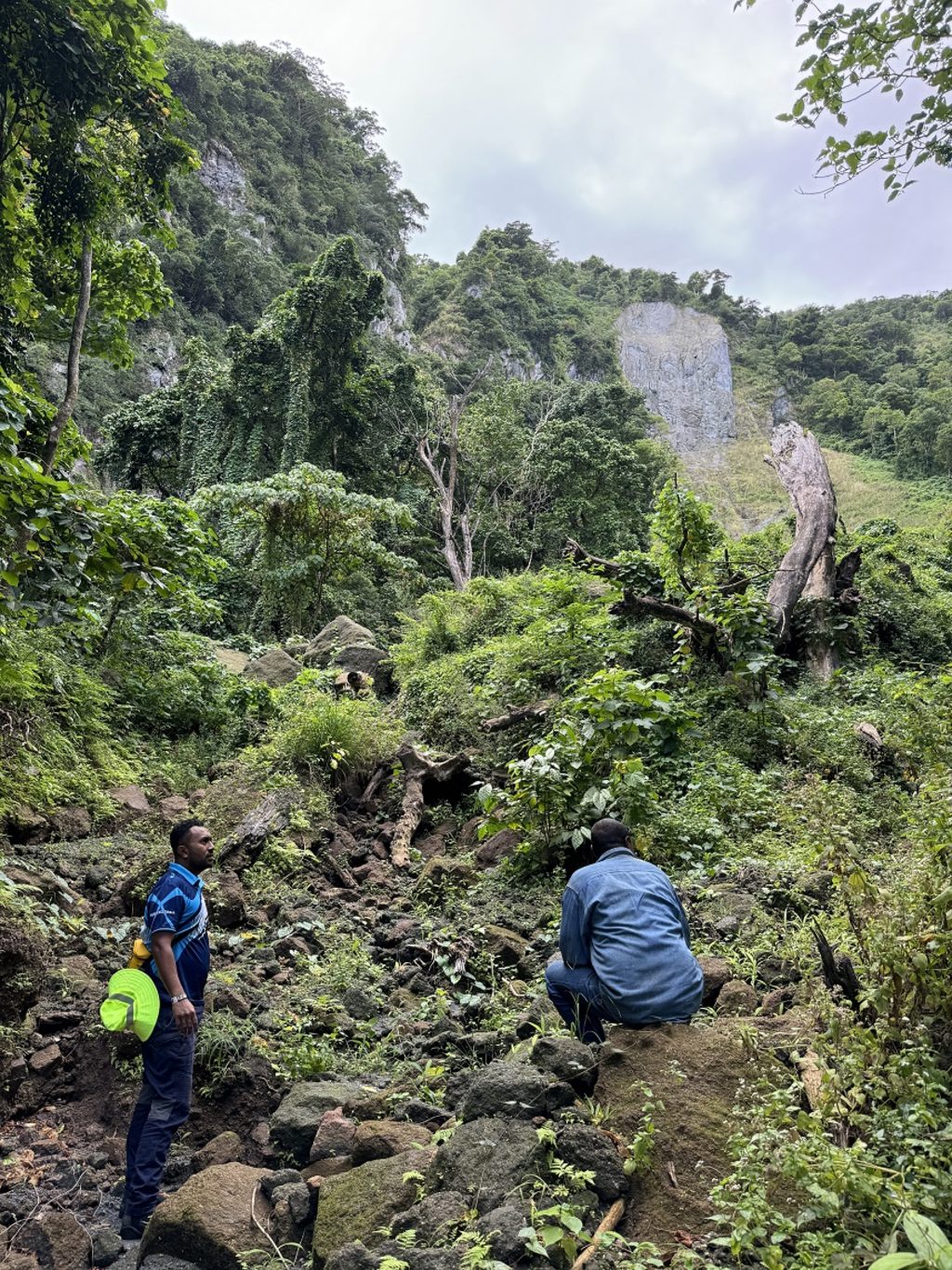
The Navukelevu volcano on Kadavu Island. It is fragile and large flank collapse is observed. Picture: SUPPLIED

