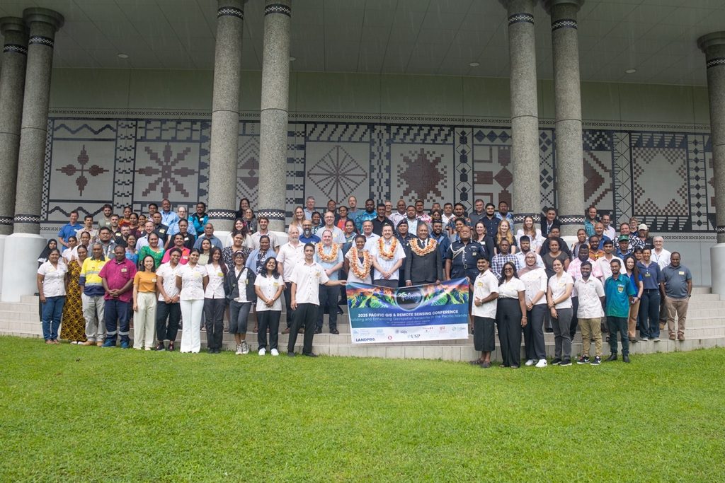
GEOGRAPHIC Information Systems (GIS) are not just tools but lifelines to Pacific islanders as they navigate life around “extraordinary challenges” that demand smart, data-driven solutions.This was the message imparted by outgoing Minister for Rural & Maritime Development and Disaster Management Sakiasai Ditoka in his opening remarks as chief guest at the 2025 Pacific Islands GIS & Remote Sensing User Conference held in Suva in November.
“… we are on the front line of climate change — more intense storms, higher seas, and shifting rainfall patterns that affect food security, livelihoods, and essential services.
“In this context, Geographic Information Systems are not just tools. They are lifelines.”
GIS are digital maps that allow the user to store, analyse and overlay different layers of location-based information gathered via remote sensing, which uses cameras or sensors on satellites or planes to collect information about the earth.
Mr Ditoka emphasised the urgency of using these GIS and remote sensing to collect and analyse the baseline information needed for effective urban, rural and coastal planning that eventually help protect cultural resources and build resilient communities that are able meet the challenges of climate change.
Chair of the Pacific GIS and Remote Sensing Council, Bradley Eichelberger said the conference was more than a gathering of GIS and remote sensing experts.
“It’s an investment in skills, partnerships and data-driven decisions that improve the well-being, resilience, and prosperity of Pacific communities,” he said.
“The evolution of the conference has been extraordinary. What began in 1991 as monthly meetings in Suva became a two-day National GIS Conference in 1998, co-organised by USP and the Fiji Lands Department, then in 2004, it became regional. Now, it is an annual, week-long, internationally recognised GIS and remote sensing event, with sufficient space for networking and informal discussions to take place, as well as the scheduled presentations.”
With the theme ‘Building and Enhancing Geospatial Networks in the Pacific’, the conference included 45 presentations to an audience of 170 international researchers, professionals, academics, NGOS, private sector partners and government officials from 23 countries.

