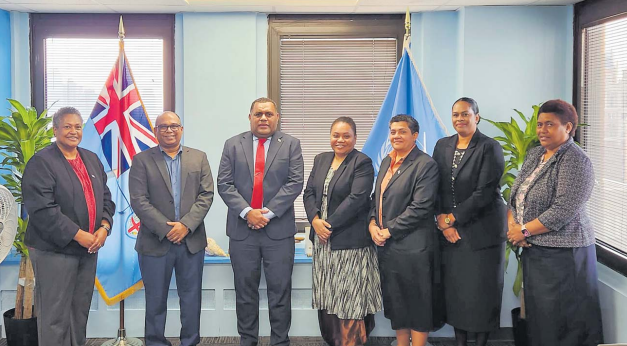
GEOSPATIAL information is a lifeline for countries like Fiji.
These were the remarks delivered by the permanent secretary for Lands and Mineral Resources Paula Cirikiyasawa while attending discussions and events at the 15th Session of the United Nations Committee of Experts on Global Geospatial Information Management (UN-GGIM).
Held in New York, Mr Cirikiyasawa told of how geospatial tools were already central to efforts across the Pacific to plan climate-resilient infrastructure, guide managed retreat, and support sustainable land and marine management.
“These are not abstract risks — they are daily lived realities for our people,” he said.
“Geospatial data helps us identify climate-vulnerable settlements, map exposure zones, and design relocation strategies that protect communities before disaster strikes.”
At a session dedicated to discussions on Climate, Environment and Resilience, Mr Cirikiyasawa highlighted the transformative role of geospatial information in tackling climate change, enhancing environmental management and strengthening disaster resilience.
He referred to Fiji’s use of high-resolution elevation and risk-based spatial data to guide the relocation of vulnerable communities, the role of geospatial platforms in post-disaster assessments and humanitarian logistics, and how Fiji had leveraged geospatial tools for marine spatial planning, reef mapping, and fisheries monitoring.
“Geospatial intelligence forms the backbone of how we anticipate, plan, and respond. It is how we translate vulnerability into visibility, and visibility into action.”
Despite progress, Mr Cirikiyasawa acknowledged ongoing challenges such as limited national capacity, fragmented systems, and uneven digital infrastructure.
He called for more investment, institutional strengthening, and international cooperation, praising the support of the UN-GGIM, the UN Global Geospatial Knowledge and Innovation Centre, and other development partners.

